Chachani mountain
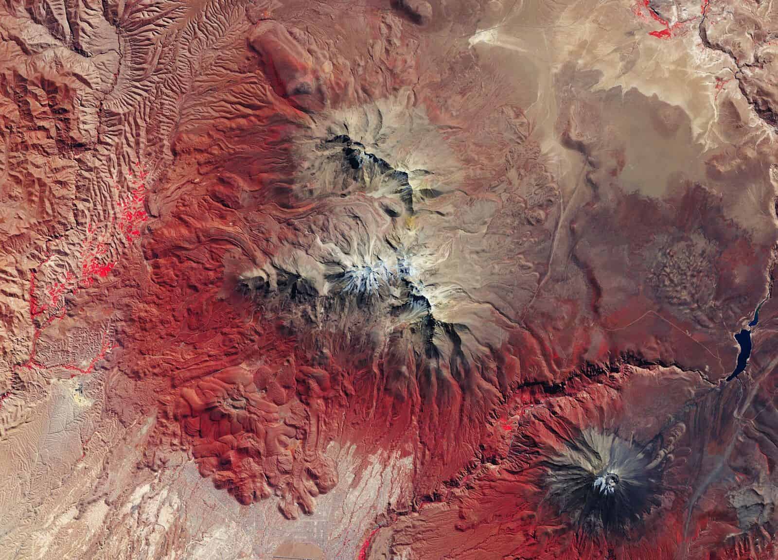
The Copernicus Sentinel-2 mission snapped this image of the Chachani mountain in Peru. Standing at over 6000m, Chachani is the tallest of the mountains near the Peruvian city of Arequipa.
Sentinel-2 is a two-satellite mission to supply the coverage and data delivery needed for Europe's Copernicus environmental monitoring programme. Sentinel-2's main instrument has 13 spectral bands and is designed to provide images that can be used to distinguish different types of vegetation and monitor plant growth.
Heavy shades of red, showing vegetated areas, dominate this false-colour image. The varying tones represent different vegetation types, at different stages in the annual vegetation cycle.
Related Content

When plasma leaves the laboratory
The orbital laboratory is evolving into something more ambitious, a controlled industrial environment for producing next-generation materials, explains Ed Smith and Andrew Griffiths. …

Collaborators apply intelligence to create smart telescopes
Britain’s Hartree Centre facility has teamed with one of Africa’s leading astronomical institutions to develop an ‘intelligent observatory’ programme featuring …

NMRC site provides first ‘terrestrial anchor’ for UK space manufacturing
Work has finished on what will be the UK’s first in-space manufacturing hub, the new National Microgravity Research Centre (NMRC) …

